GemA Flirsch - Sig. 262 - Voderseite
GemA Flirsch - Sig. 264 - Seite 3
GemA Flirsch - Sig. 271 - Seite 1
GemA Flirsch - Sig. 271 - Seite 2-3
GemA Flirsch - Sig. 272 - Seite 1
GemA Flirsch - Sig. 272 - Seite 2-3
GemA Flirsch - Sig. 291 - Seite 4
GA Flirsch, Sig. 121 - Seite 2
GA Flirsch, Sig. 121 - Seite 3
GA Flirsch, Sig. 124 - Seite 2
GA Flirsch, Sig. 56 - Seite 2
GA Flirsch, Sig. 57 - Seite 3
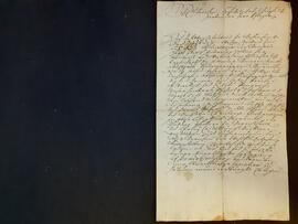
GA Flirsch, Sig. 60 - Seite 1
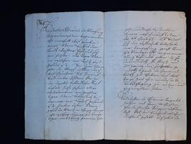
GA Flirsch, Sig. 61 - Seite 4-5
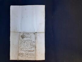
GA Flirsch, Sig. 61 - Seite 12
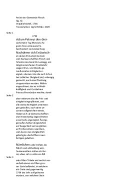
GA Flirsch, Sig. 61 - Transkription
GA Flirsch, Sig. 66 - Seite 6-7
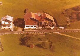
Luftbild Gebäude; Nr. 38 (Grube)
Luftbild Gebäude; Nr. 39, 40 (Grube)
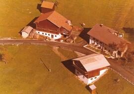
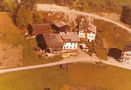
Luftbild Gebäude; Nr. 57 (Moos)
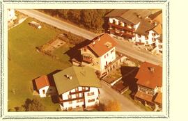
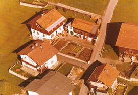
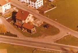
Luftbild Gebäude; Nr. 104, 105, 106 (Dorf)
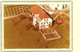
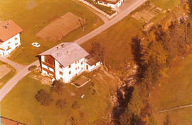
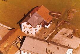
Luftbild Gebäude; Nr. 154 (Dorf, Widum)
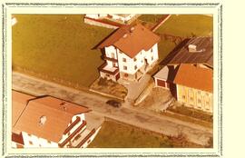
Luftbild Gebäude; Nr. 160, 162 (Dorf)
Luftbild Gebäude; Nr. 162, 199 (Dorf)
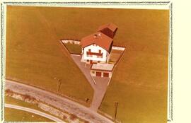
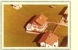
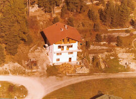
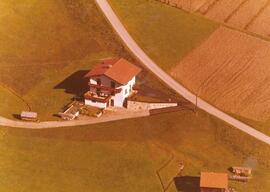
Luftbild Gebäude; Nr. 170 (Dorf)
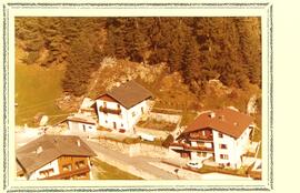
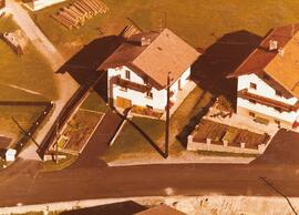
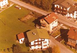
Luftbild Gebäude; Nr. 195, 196 (Siedlung)
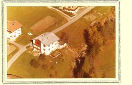
Luftbild Gebäude; Nr. 208, 209 (Bach)
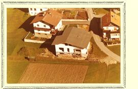
Luftbild Gebäude; Nr. 214, 215, 216 (Bach)
Luftbild Gebäude; Nr. 223 (Bach)
Luftbild Gebäude; Nr. 253, 254, 255 (Bahnhof)
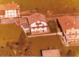
Luftbild Gebäude; Schnann
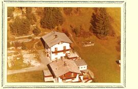
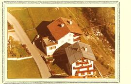
Luftbild: Waidach (Siedlung)
Luftbild: Waidach (Siedlung)
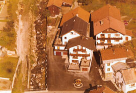
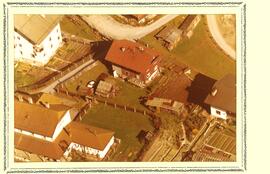
Luftbild: Beim Mühlplatz (Dorfplatz)
Luftbild: Ortsteil Tanne
Luftbild: Ortsteil Bach
Luftbild: Ortsteil Bach
Luftbild: Ortsteil Bach
Luftbild: Ortsteil Bach
Luftbild: Moos/Grissen
Luftbild: Grube/Mairenbichl
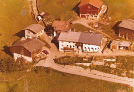
Luftbild: Nadling
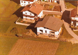
Luftbild: in der Lache
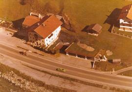
Luftbild: ehemaliges Gasthof Bahnhof
Luftbild: in der Gasse (Dorfstraße)/Flirschegg
Luftbild: in der Gasse (Dorfstraße)/Flirschegg
Luftbild: in der Gasse (Dorfstraße): Dorfschmiede
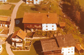
Luftbild: Mairhof
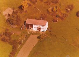
Luftbild: Prozenegg
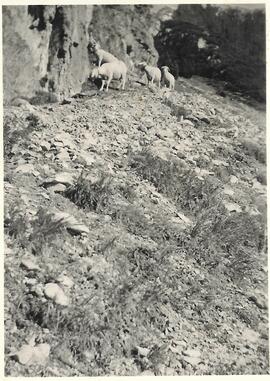
Schafe am Fuße der Plankenspitze, 1948