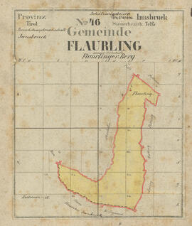
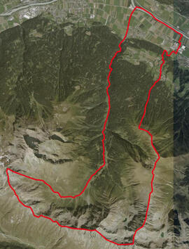
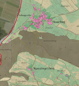
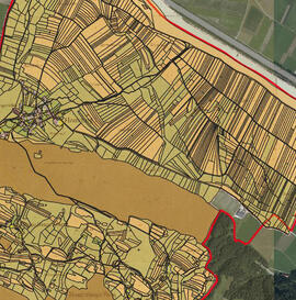
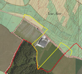
Series geo - Franziszeischer Kataster, Geo-Daten

Definitive Grenze, georeferenziert Grenze heute, georeferenziert Original Bauparzellen, georeferenziert Original Grundparzellen, georeferenziert Grenzänderung, georeferenziert

Reference code

AT GemA Flaurling ChrF-kb-geo

Alternative identifier(s)

Title

Franziszeischer Kataster, Geo-Daten

Date(s)

  • 1856 - 2018 (Creation)

Level of description

Series

Extent and medium

georeferenzierte Daten

Name of creator

(1998)

Administrative history

Archival history

Scope and content

Appraisal, destruction and scheduling

Accruals

System of arrangement

Conditions governing access

Conditions governing reproduction

Language of material

Script of material

Language and script notes

Physical characteristics and technical requirements

Finding aids

Uploaded finding aid

Existence and location of originals

Existence and location of copies

Related units of description

Related descriptions

EAP

Names

Genres

Description identifier

Institution identifier

Rules and/or conventions used

Status

Level of detail

Dates of creation revision deletion

Sources

Accession area

EAP

Related subjects

Related people and organizations

Related genres

Physical storage

  • Datenträger: "Karten, Pläne"